Auszug Streckenkarte 1938
Quelle: [1]
Stand der Kilometrierung: 1918
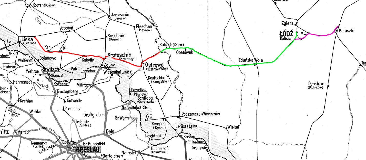
Kankel 0,0 - Kobylin 43,68 - Korotoschin 59,19 - Ostrowo 87,85 (kommend)/86,98 (gehend) - Skalmierzyce 105,01 - Grenze Deutschland/Rußland 105,93 = km 0,0 - Kalisch - Lodz Kalischer Bf
Stand der Kilometrierung: 1938
Stand der Kilometrierung: 1943
Ostrowo (Wartheland) 0,0 - Karotschin 28,635 - Koppelstädt 44,150 - Lissa(Wartheland) 99,719
Koluszki 0,0 - Litzmannstadt Ost 20,842 -Abzw Heinrichau 72,078 - Freihaus 75,371 -Kalisch (Wartheland) 145,050 - Ostrowo (Wartheland)168,890
Stand der Kilometrierung: 2011
Łódź Kaliska (Litzmannstadt Hbf) 0,503 - Zduńska Wola (Freihaus) 42,360 - Kalisz [Kalisch (Wartheland)] 112,133 - Ostrów Wielkopolski [Ostrowo (Wartheland)] 136,121 - Kobylin (Koppelstädt) 180,268 - Kąkolewo (Kankel) 223,994 - Leszno [Lissa (Posen)] 235,868 - Głogów (Glogau) 280,509 - Żagań 340,532 - Tuplice (Teuplitz) 374,847 - Zasieki 388,600 - Staatsgrenze Polen/Deutschland 389,08(2010)/388,185 (1949) = [km 23,6 - Forst(Lausitz) 22,02 - Cottbus -0,02]
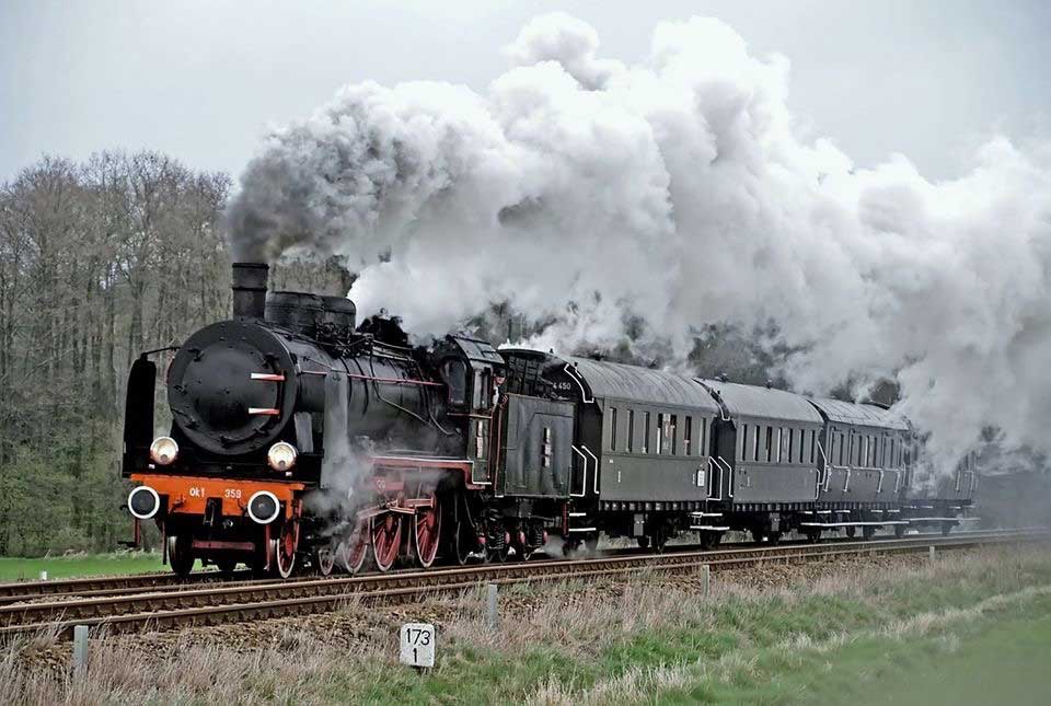
km 173,1 in Kuklinów [Friedrichswert (Posen) 1939-1941; Friedrichswert (Wartheland) 1941-1943; Küchelnau 1943-1945]
Ok1-359 (ex 38 2155) mit S 774425
Foto: ŁukaszAlczewski, 12.04.2008
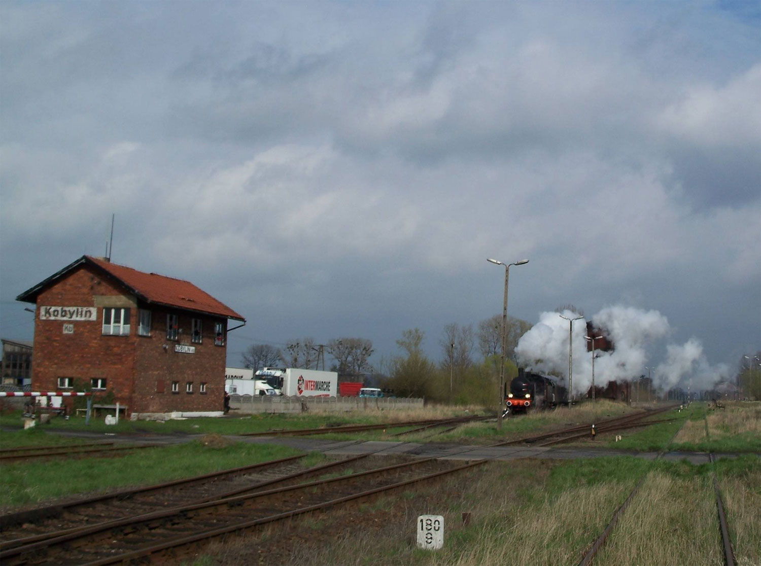
km 180,9 in Kobylin (Koppelstädt)
Foto: Carsten Friese, 12.04.2008

km 180,9 in Kobylin (Koppelstädt)
Foto: Carsten Friese, 12.04.2008
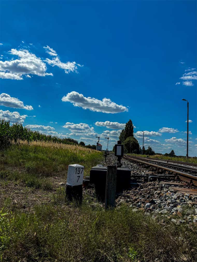
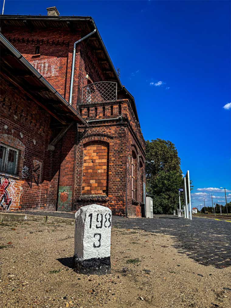
km 197,7 in Krobia (Kröben)
Foto: Szymon Ciszak, August 2024